
Rocklin Neighbors Around One Address
A block lookup works best as a source map. Placer GIS shows how parcels touch. The assessor adds dated ownership and mailing fields. The recorder supplies transfers and legal descriptions. City permits add project participants, while directories and census pages can show earlier households. Community groups may publish a contact or board name, but a public contact is not a private member roster.
| Source | What It Shows About a Block | Access |
|---|---|---|
| Placer GIS/LIS parcel layer | Subject parcel, adjoining polygons, APNs, zoning, and land-use context | Search by address or parcel; click each lot |
| County Community Map | FEEPARCEL, formatted APN, situs, city/state/ZIP, use, area, buildings, and geometry | Public parcel service; no owner or mailing field |
| Placer Assessor | Owner, mailing, situs, values, exemptions, and physical characteristics | Identifier lookup or defined data request |
| Clerk-Recorder | Transfers, liens, maps, parties, and legal descriptions | Index online; images at Rocklin counter |
| Rocklin permits and files | Project address, APN, owner, applicant, contractor, work, and status | City search or focused request |
| Directories and census | Historical households and nearby names at a stated time | Library, archive, or digitized collection |
| Neighborhood organizations | Public officers, management contacts, and voluntary group information | Public contact only; rosters may be private |
Owners are not the whole set of Rocklin neighbors. A parcel can have an owner whose mailing address is elsewhere, and a household can include people absent from the roll. Read each row as one answer, not a full list of everyone nearby.
Mapping Rocklin Neighbors Parcel by Parcel
The adjacent-parcel method is visual and repeatable. Start with one address, move to parcel scale, and record each source in order. Identify the surrounding land units first, then add lawful context.
- Search the address in the Placer County Parcel, Zoning & Land Use Map, zoom to parcel scale, and turn on the parcel layer.
- Click the subject polygon, then click each adjoining polygon. Record each APN and situs address exactly as shown.
- Resolve each APN through Placer Assessment Inquiry or a defined assessor data order. Keep owner mailing and situs columns separate.
- Use the recorder, city permit files, directories, census, and public association contacts only where they answer a specific block question.
- For a whole named street and its deed chain, continue with the Rocklin Street Directory address workflow rather than treating the block map as a street list.
A map edge is not a household boundary. It marks land, and the parcel record may omit people who use the address. Preserve the map date, APN, and source URL.
Rocklin Neighbor Map Records
Rocklin's Community Map parcel service shows block shape and attributes, but it is not an owner directory. It exposes a 12-character FEEPARCEL, formatted APN, situs, city, state, ZIP, tax and assessment descriptions, area and use, building type and year built, street number, building, garage and land square footage, and geometry.
| Map element | Available block detail | Important boundary |
|---|---|---|
| Parcel identity | FEEPARCEL and formatted APN | Use the APN to move to the assessor; no owner name here |
| Situs fields | Street number, city, state, ZIP, and geometry | Postal data does not decide a legal lot |
| Land and building | Tax or assessment descriptions, area, use, building type, year built | Attribute detail is not proof of a household |
| Measurements | Building, garage, and land square footage | Compare with the dated assessor record |
| Query tools | Statistics, ordering, pagination, and query-with-distance | Distance results are capped at 2,000 records |
| Context layers | Easements, Private Neighborhoods, and Parcels | Mapped features are approximate, not legal boundaries |
The Community Map has no owner or mailing field. Use it for adjoining APNs and geometry, then shift to the assessor or recorder for a person or title question.
Rocklin Neighbor Owners and Parcels
Placer Assessment Inquiry requires a 12-digit Assessment Number or Fee Parcel Number, not an unrestricted owner-name search. GIS or the Community Map comes first for an address. Property details can show owner, mailing, situs, values, exemptions, and characteristics, but the owner field is not a count of the people at the parcel.
Keep owner mailing and situs separate. A matching pair can support an occupancy inference; a different pair can reflect an owner contact location or estate. A homeowners exemption flag is dated evidence, not a current household list.
For a broader geographic set of Rocklin neighbors, the county data request can return owner/mailing, situs, values, exemptions, characteristics, last transfer, and deed fields. The stated completion period is two weeks.
Note: A property owner is one relationship to land; it does not identify every person who shares, visits, or once used the address.
Rocklin Neighbor Records Near Your Block
Rocklin city files add a project layer. eTRAKiT fields may include Permit Type, Short Description, Job Value, Additional Information, Location, Property Owner and Contractor checkboxes, Attachments, and Next Step. Registered users can upload plans, pay, check status, view or print permits, and schedule inspections. It was introduced in 2025, but anonymous search fields were not verified.
SIRE can connect a street or APN to agendas, minutes, resolutions, ordinances, staff reports, entitlements, project names, parcel numbers, status, revision date, and title. Search by address, APN, or project phrase. Council minutes are the official meeting record.
The City of Rocklin department gateway and the Police Records Unit provide local routing when an address file is not exposed through a search page. A focused public-record request form can identify the department, date range, and existing record sought. Use only identifiable existing records and expect protected personal fields to be withheld or redacted.
Rocklin Neighborhood Contacts
Rocklin has named areas such as Downtown/Quarry District, Stanford Ranch, Whitney Ranch, Sunset Whitney, and Clover Valley. A neighborhood name can guide a search, but it does not fix a parcel line or create a citywide association roster. Public board contacts help with civic questions; member lists may be private.
| Community layer | Publicly described access | What it can support |
|---|---|---|
| Rocklin Neighborhood Watch | Police reported 128 groups in 2024; maps and rosters stay with Block Captains | Voluntary block coordination and public-safety contact |
| Whitney Oaks Community Association | No public resident directory was found | Public association contact, not member identity |
| Springfield at Whitney Oaks | Directory access requires resident registration and ID | Member-only directory evidence |
| Whitney Ranch HOA | No public member list was found | Public management or event contact only |
No verified official citywide association roster was found. A contact page can identify a board, manager, or liaison, but not who belongs to a group. Treat it as a voluntary civic source beside parcel and record research.
Rocklin Neighbor Rosters Stay Private
Neighborhood Watch maps and rosters stay with Block Captains who act as police liaisons. Springfield at Whitney Oaks requires resident registration and ID for its directory. Whitney Oaks and Whitney Ranch may publish a contact route while keeping membership private.
Use a public contact for a meeting or civic question. Do not request a private roster or treat an event notice as proof that a named person lives nearby. The same care applies to congregation, school, and other community lists.
Historical Rocklin neighbors can be approached through dated directories, census pages, newspapers, and the Placer Herald. Ask who was connected to the place, in which year, and in what source.
Rocklin Neighbor Tools and Sources
Official records and commercial compiled tools serve different purposes. The official path returns to the custodian and source date. A commercial tool may assemble public, contributed, or purchased data into a stale or mismatched lead. Neither category is a complete list of nearby households.
| Category | Useful for | Limit to carry forward |
|---|---|---|
| GIS and Community Map | Adjoining land units, APNs, geometry, use, and building fields | No owner or mailing field in the Community Map |
| Assessor and recorder | Owner relationship, mailing or situs, transfers, and legal descriptions | Dated ownership evidence is not a full household record |
| City files | Project parties, permits, planning, and civic documents | Exempt or redacted fields may be absent |
| Commercial compiled category | Possible lead when a public source is hard to locate | Verify name, date, address, and source with the custodian |
The California DROP information page explains a current privacy route for covered data-broker records.
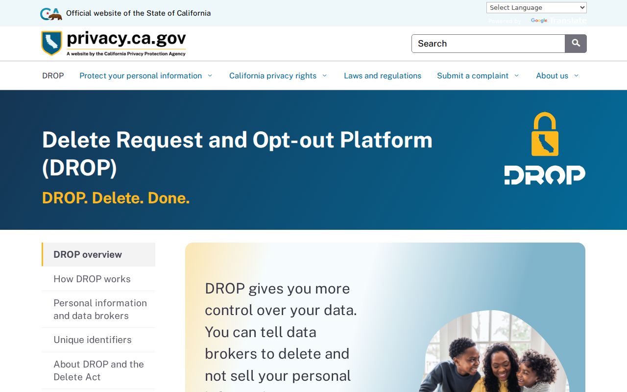
Deletion from a compiled service does not erase the deed, court, assessor, or city record that supplied a lawful public source.
California Privacy for Rocklin Neighbors
California CCPA and CPRA rights apply to qualifying consumer data held by covered businesses. The Attorney General describes rights to know, delete, correct, limit certain sensitive-information uses, and opt out of sale or sharing. These rules do not require a custodian to erase an accurate public record.
Use a covered business's privacy request path for a compiled neighbors listing. Verify the record, provide only needed information, save confirmation, and return to the source office for a correction.
The California Attorney General privacy guidance sets out the business-facing rights and limits that matter when a commercial record is compared with official parcel evidence.
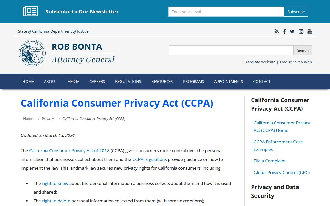
The guidance is a privacy tool, not a shortcut around a sealed, confidential, or protected government record.
Protected Rocklin Neighbors
California My Voter Status is a personal self-check, not an open name or street directory. Elections Code section 2194 limits use, while Government Code section 7924.000 protects specified address, phone, email, identifier, prior-registration, and signature fields. A result confirms the submitting voter's status, not every person on a block.
Safe at Home provides a substitute mailing address and confidential voter registration for qualifying people. A protected address may be absent. CCPA rights and the 2026 DROP platform do not erase recorder, court, assessor, or city originals.
The Secretary of State Safe at Home program explains the confidentiality route for eligible participants.
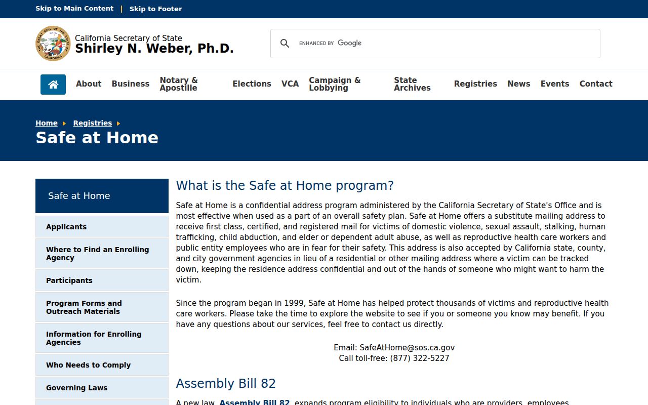
A missing address is sometimes a safety feature. Stop the search when the custodian or program indicates that a field is protected.
Lawful use. Rocklin neighbor research is for getting to know a block, reconnecting, civic study, family history, and personal safety awareness. Do not use names or addresses to stalk, harass, intimidate, impersonate, or harm anyone.